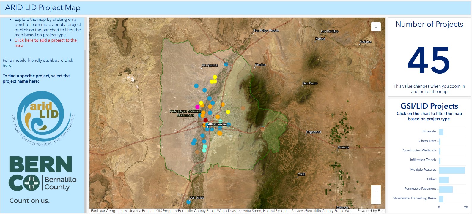
Bernalillo County and the ARID LID Coalition created a GSI/LID project map for the Middle Rio Grande to help locate and learn about GSI/LID in our watershed.